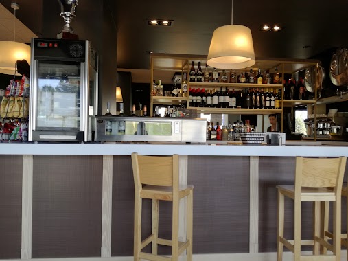
Cafe nearby A d' Paco
Spain
Cafe nearby A d' Paco
A d' Paco
Rúa O Graxal 4A Baixo, Oleiros España
contacts phone
:
+34
Latitude:
43.3232933
, Longitude:
-8.3626282
read more
nearest Cafe
411 m
Cafe Tenor Bar
Spain
Cafe
read more
414 m
Cafe Bar Sanri
Paseo Marítimo, 15, Cambre
Cafe
read more
469 m
La Novena
Rúa Ícaro, 34, Oleiros
Cafe
read more
525 m
Cafetería la Terraza
Paseo Marítimo, 14, O Graxal
Cafe
read more
535 m
La Maruxa
Rúa Anxo Senra Fernández, 25, O Burgo
Cafe
read more
588 m
La Bohemia
Paseo Marítimo, 4, O Temple
Cafe
read more
617 m
Cafetería Flash
Rúa Pígara, 17, Cambre
Cafe
read more
633 m
A MI MANERA
A, Rúa Anxo Senra Fernández, 13, Culleredo
Cafe
read more
676 m
Terramae
c/ Anxo Senra Fernandez Nº 4 Local 2, O Burgo, Culleredo
Cafe
read more
734 m
Ondas Sc
Paseo Marítimo, 1, O Graxal
Cafe
read more
741 m
Doble RR
Cambre
Cafe
read more
778 m
Tramway S.C.
Rúa da Tapia, 26, Temple (O)
Cafe
read more
778 m
Martipan Café Degustación
Spain
Cafe
read more
821 m
Café:Slot21:Salon De Xogos
Spain
Cafe
read more
839 m
Cafe Bar Central
Avenida Coruña, 3, Culleredo
Cafe
read more
851 m
Cafetería J.F.
Spain
Cafe
read more
869 m
Cross Roads Cervecería
Alexandre Bóveda, 1, Culleredo
Cafe
read more
885 m
Bar Café Xuntanza
Rúa da Tapia, 56, Temple (O)
Cafe
read more
954 m
Tapeteo
Cambre
Cafe
read more
959 m
Menaje Galicia S.L
Calle Otero Pedraio, 22 Bajo, O Temple
Cafe
read more
982 m
Cafetería Deleitate Degustación
Rúa Hersa, 8, Culleredo
Cafe
read more
996 m
As Tres Marías
Rúa Sanjurjo Carricarte, 13, Culleredo
Cafe
read more
1.013 km
O Bocattas
Rúa Polígono, Cambre
Cafe
read more
1.138 km
Cafe Bar O Encontro
Plaza de areeiros, 7, Perillo
Cafe
read more
1.148 km
El Rincón De Alma
Paseo Profesor Tierno Galván, 16, Culleredo
Cafe
read more
📑
all categories
Accounting
Administrative area level 1
Administrative area level 2
Airport
Amusement park
Aquarium
Art gallery
Atm
Bakery
Bank
Bar
Beauty salon
Bicycle store
Book store
Bowling alley
Bus station
Cafe
Campground
Car dealer
Car rental
Car repair
Car wash
Casino
Cemetery
Church
City hall
Clothing store
Colloquial area
Convenience store
Country
Courthouse
Dentist
Department store
Doctor
Electrician
Electronics store
Embassy
Establishment
Finance
Fire station
Florist
Food
Funeral home
Furniture store
Gas station
General contractor
Grocery or supermarket
Gym
Hair care
Hardware store
Health
Hindu Temple
Home goods store
Hospital
Insurance agency
Jewelry store
Laundry
Lawyer
Library
Light rail station
Liquor store
Local government office
Locality
Locksmith
Lodging
Meal delivery
Meal takeaway
Mosque
Movie rental
Movie theater
Moving company
Museum
Natural feature
Neighborhood
Night club
Painter
Park
Parking
Pet store
Pharmacy
Physiotherapist
Place of worship
Plumber
Point of interest
Police
Political
Post office
Premise
Real estate agency
Restaurant
Roofing contractor
Route
Rv park, camping
School
Shoe store
Shopping mall
Spa
Stadium
Storage
Store
Subpremise
Subway station
Supermarket
Synagogue
Taxi stand
Train station
Transit station
Travel agency
University
Veterinary care
Zoo
administrative area level 3
administrative area level 4
administrative area level 5
sublocality level 1
↑